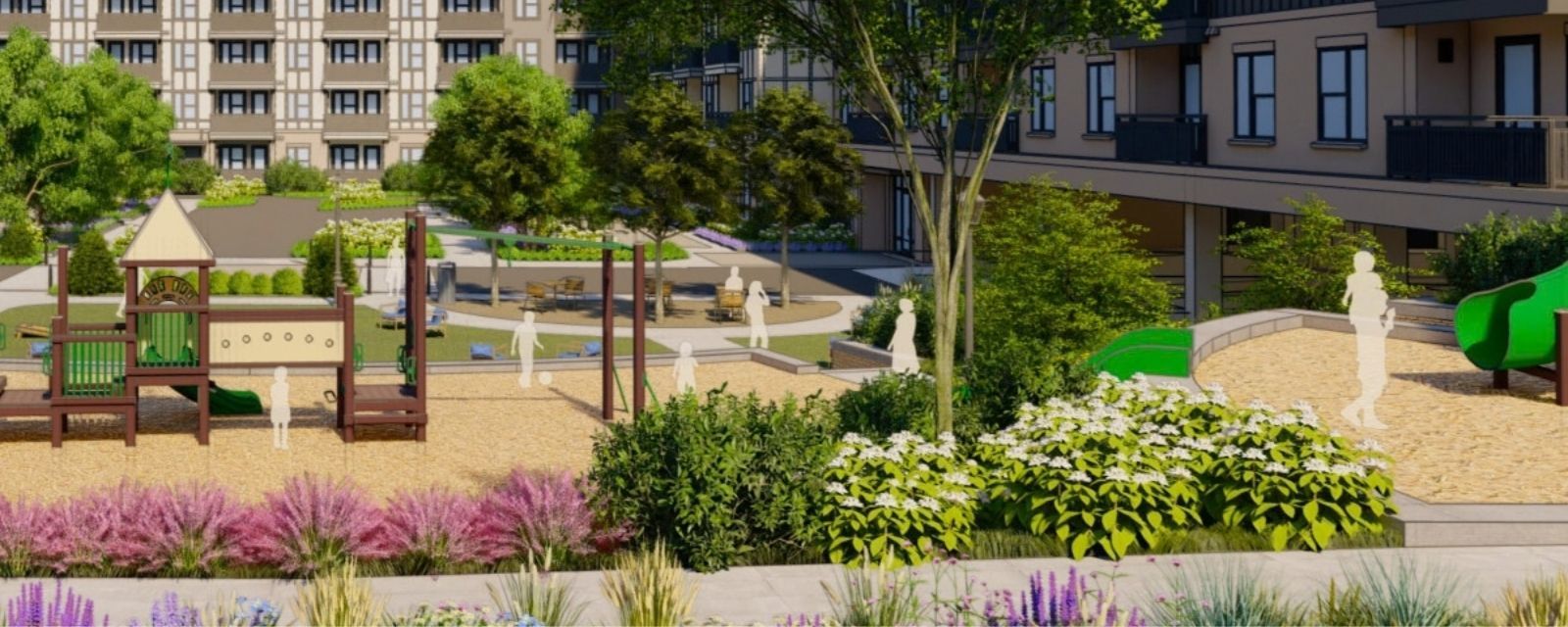
Five houses on Spalding Drive are set to become 21.
That decision is final. Sandy Springs City Council approved it unanimously on May 19, while the city was beginning a separate process asking residents where more housing should go.
Both things are true at once, and the space between them is the story.
On March 17, City Council approved a $1.15 million contract with Rhodeside & Harwell, TSW Design and KB Advisory to produce Sandy Springs’ 2027 Comprehensive Plan and update its recreation and parks plan. Final adoption is scheduled for June 2027, making this roughly a 15-month process from contract approval to adoption.
The third of five public meetings on the plan’s policies and priorities is scheduled for Oct. 29 at Sandy Springs City Hall from 6 to 8 p.m.
What the Oct. 29 meeting can change
Nothing about your property’s zoning changes that night.
Georgia requires cities to update their comprehensive plans every five years to remain eligible for certain state and federal grants. The adopted plan will guide future decisions about housing, transportation, parks and development, and city officials regularly cite it when considering rezoning requests.
It will not rezone a parcel by itself.
The zoning map and development code determine what is legally permitted today. Changing them requires a separate application, public process and vote.
The comprehensive plan is direction. Zoning is permission.
That distinction is similar to the one we recently explained in the Atlanta Regional Commission’s regional housing plan. A plan can identify what a community needs and where it may belong. Another government action determines whether it can actually be built.
Spalding Drive shows what the binding decision looks like
At 1265 through 1369 Spalding Drive, near Pitts Road and the Dunwoody border, five houses occupy five lots previously zoned RE-1, which requires a minimum lot size of one acre.
The Providence Group requested RD-9 zoning, which reduces that minimum to 9,000 square feet. That change allows 21 detached houses on the Sandy Springs portion of the property.
The Planning Commission recommended approval in a 3-2 vote. City Council gave final approval unanimously on May 19, with conditions addressing access, turn lanes and neighborhood buffers.
Across the municipal line, Dunwoody approved three additional lots on July 27. The combined development can now carry 24 homes across the two cities, all entering through the signalized intersection at Spalding Drive and Pitts Road.
Within Sandy Springs, the result is straightforward: five homes can become 21 because one rezoning changed the minimum lot size.
The comprehensive plan still mattered. The project went through community meetings, staff review and consideration against existing city policies. But the legally effective decision was the rezoning vote.
More than 800 homes are already moving through the current system
Spalding Drive is one example of how housing decisions are being made while the broader planning process continues.
In August, Sandy Springs approved incentives valued at just over $4.3 million for the redevelopment of North River Shopping Center. The current proposal includes 336 apartments, 85 for-sale townhomes, retail, restaurants and a 0.71-acre public park.
The package consists of waived recreation and permit fees plus a 10-year property-tax abatement. Those incentives are contingent on Woodfield Development acquiring the property, demolishing the shopping center and completing the approved redevelopment and park.
At 35 Glenlake Parkway, an obsolete UPS office site is becoming Caldwell, a five-story, $139 million development with 382 apartments. Construction is underway, with the first residents expected in 2028. We reported on that project here.
Spalding Drive, North River and Caldwell represent 824 homes that are approved, incentivized or already under construction.
They are not equivalent projects. One required a residential rezoning. One is replacing a shopping center with a mixed-use neighborhood. One is replacing an office building with apartments. Together, they show that Sandy Springs is already making binding housing decisions before its new comprehensive plan is adopted.
Where residents actually disagree
The disagreement is not simply over whether Sandy Springs needs more housing choices.
Ronda Smith, chair of the comprehensive plan advisory committee and president of the Sandy Springs Council of Neighborhoods, described it as a location question.
“The question is ‘the where’” of where a greater range of single-unit housing should go, she said. “The policies will drive where that’s allowed.”
Smith pointed to underused office properties and their large parking lots as possible locations for fee-simple townhouses or detached homes rather than more rental apartments. That is her stated preference, not adopted city policy.
Assistant City Manager Kristin Smith identified the policy gap the new plan is supposed to address. The current comprehensive plan offers limited guidance for deciding where subdivisions, infill and assembled residential lots are appropriate.
“We’re hearing non-stop across the community that folks want more choices,” she said. “Right now, we have a lot of large lot single family, and I don’t think the nature of that is going to change.”
The unresolved questions are location, density and tenure. Should additional housing replace aging office buildings and shopping centers? Should large residential lots be divided? Should the city prioritize ownership opportunities over rentals? How much of Sandy Springs should remain protected for low-density housing?
The last full rewrite, The Next Ten, was adopted in February 2017 after an 18-month process. It established four small-area plans covering Roswell Road, Perimeter Center, the MARTA station areas and Powers Ferry Landing. The city updated it in 2022.
Sandy Springs is now writing the guidance it expects to use through 2047. Zillow puts the city’s typical home value at approximately $692,000 as of August 2026, which helps explain why the conversation about smaller lots and additional housing types has become harder to avoid.
The Oct. 29 meeting matters, but not because anyone’s zoning changes that night. It matters because the language adopted next year will influence which proposals staff recommends and which rezonings elected officials can defend later. Spalding Drive shows what happens after the policy conversation ends. A developer files an application, neighbors negotiate over access and buffers, the Planning Commission votes, and City Council makes the final call. If you care about what gets built near you, participate in both parts. Attend the comprehensive plan meeting, then keep watching the Planning Commission agenda, mailed notices and rezoning signs on individual properties. The plan establishes the city’s reasoning. The parcel-level vote makes that reasoning real.


